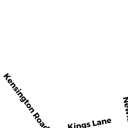
0 NEWLAND ST
NORTON, MA02766
Owner Information
DAGGETT-CRANDALL-NEWCOMB HOME
55 NEWLAND ST
NORTON, MA 02766


Property Details
0 NEWLAND ST is classified as a Mixed Use (Primarily Residential, some Agriculture).
0 NEWLAND ST is valued at $216,810. The land is valued at $216,810 and the structures are valued at $0.
Assessment data from fiscal year 2021.
Flood Data
This property is partially within the A Zone (within floodplain). Approximately 1.15 acres (4.6%) of the property is within this zone.
This information is sourced from the FEMA National Flood Hazard Layer. See our full disclamer.
Broadband Internet Providers
| Provider | Type | Bandwidth (mbps) | |
|---|---|---|---|
| Viasat Inc | Satellite | 100 | 3 |
| Comcast | Cable | 1000 | 35 |
| T-Mobile | Fixed Wireless | 25 | 3 |
| VSAT Systems, LLC. | Satellite | 2 | 1 |
| HughesNet | Satellite | 25 | 3 |
| GCI Communication Corp. | Satellite | 0 | 0 |
Broadband service provider data from December 2020.
Adjacent Properties
- 0 NEWLAND ST
Productive Woodland (Ch. 61A, not classified as Open Space, with a Forest Management Plan); woodlots owned by DAGGETT-CRANDALL-NEWCOMB HOME - 0 NEWCOMB ST
Vacant, Conservation Organizations (Charitable Org.) owned by LAND PRESERVATION SOCIETY - 0 NEWCOMB ST
Vacant, Conservation Organizations (Charitable Org.) owned by LAND PRESERVATION SOCIETY - 125 NEWLAND ST
Single Family Residential owned by HADLEY KENNETH W